Share Event


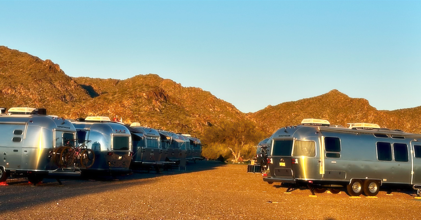
*THIS IS A DRY CAMPING RALLY in the Group Camping Area*
On arrival, you will pay $66 for three nights camping at the entry gate. Dry camping in the group campsite: 2 large ramadas with 4 picnic tables each, 2 large barbecue grills, one large fire ring, and restrooms with showers. There are no hook-ups in the Group Campground Area. Nearby dump station.
Thursday
Bring an appetizer to share and your favorite beverage
Friday
Continental Breakfast
Dinner
Saturday
Full Hot Breakfast
Potluck Dinner Potluck, bring a protein to grill and a side dish to share
Toy Drive: Bring an unwrapped toy or cash donation.
Bring your $1s for LRC
White Tank Mountain Regional Park History
Eleven archeological sites, occupied during the period A.D. 500-1100, were located within the boundaries of White Tank Mountain Regional Park. All of these sites can be attributed to the Hohokam Indians. The Hohokam abandoned the White Tanks about A.D. 1100. There is no further indication of human occupation until the historic period, when the Western Yavapai controlled the area.
The ruggedness of the terrain and scarcity of water restricted the sites to large canyons leading out of the mountains. In these canyons, the sites include seven villages, varying in area from 1 to 75 acres, a rock shelter situated on the face of a steep cliff overlooking the white tanks, and several sherd areas. Several of the villages appear to have been occupied for long periods by sizeable populations, while the sherd areas may represent temporary camps of hunters and gatherers.
Most of the sites in the area are concentrated around the White Tanks themselves. The Tanks probably held water year-round, thereby drawing people to the region. Petroglyphs on rocks indicate the Indians were more than transients. Pottery sherds along the Agua Fria and Hassayampa indicate the presence of villages, and there is a good possibility that an Indian trail connected the streams with the White Tank long before Europeans arrived in the area. The discovery of possible agricultural terraces or check dams suggests that farming may have been practiced in the various canyons of the White Tank Mountains by utilizing seasonal runoff and rainwater.
About the Petroglyphs
Ancient Arizonans pecked hundreds of figures and symbols on the rock faces of the White Tank Mountains. Some may be 10,000 years old. All have withstood sun, rain, and vandals for 700 or 800 years or more.
The Black Rock Trail circles through a Hohokam village site, though the pit houses and trash mounds are hidden to all but the trained eye of an archeologist. The largest group of rock art panels is located along the Waterfall Canyon Trail at "Petroglyph Plaza". Another big group is near the entrance to the box canyon that gives the trail its name.
A rock drawing was serious business to its maker. While no one can say precisely what most of them "mean", we know they had important functions in the lives of their makers. They were not simply stone-age graffiti. The symbols recorded events and marked locations. They were a magical way to control nature, so rain would fall or mountain sheep would let themselves be caught. Some served as trail markers and maps. Others represented religious concepts.
Please do not try to make "tombstone rubbings" of the petroglyphs. It doesn’t work at all, and you will erode the dark areas, making the petroglyph dimmer. Look at and photograph these figures and symbols of history, but please don’t touch the petroglyphs; skin oils can also damage them.
Need to cancel?
We get it—plans change! But if canceling costs the club, you’ll need to cover that expense. AAC rallies aren’t about making money, but we also can’t take a loss.
If you cancel within 30 days of the rally, the Rally Fee is non-refundable.
To cancel, please notify the Arizona Airstream Club (AAC) directly. AAC has already prepaid for the reserved group site.
If you need to cancel, just fill out the Event Registration Cancellation Form. Thanks for understanding!
(Cancellation Form) (AAC Cancellation Policy)